




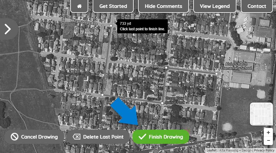
Step One: Using your mouse or touchscreen, left click on or touch the map to show where you begin your trip.
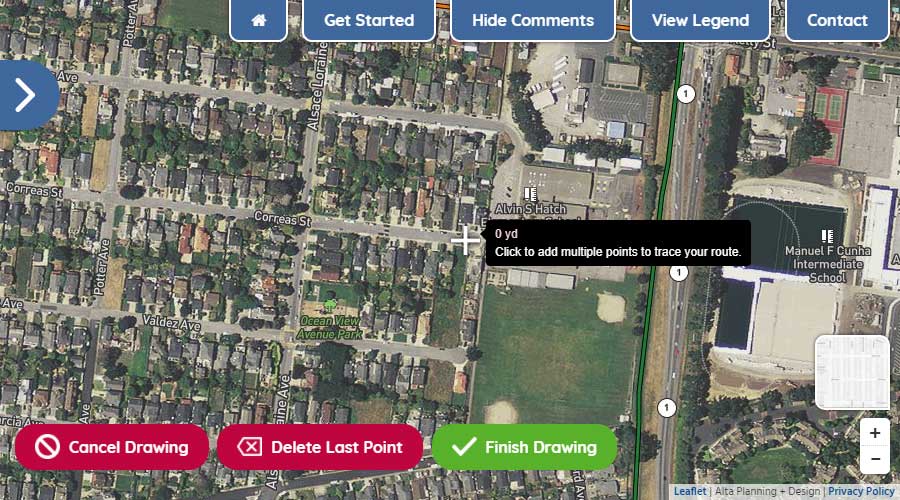
Step Two: With the first point drawn, continue by left-clicking or touching the map to show where you turn along your route.
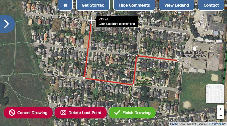
Step Three: To move the map while drawing your route, hold down your left button on your mouse and move the mouse to get to your desired location on the map or simply drag the map with your fingers on your touchscreen. To zoom in and out, use the wheel on your mouse or use the +/- icons in the lower right of your screen.
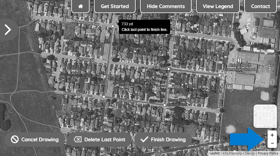
Step Four: To delete the last drawn point on your route, click the "Delete Last Point" button.
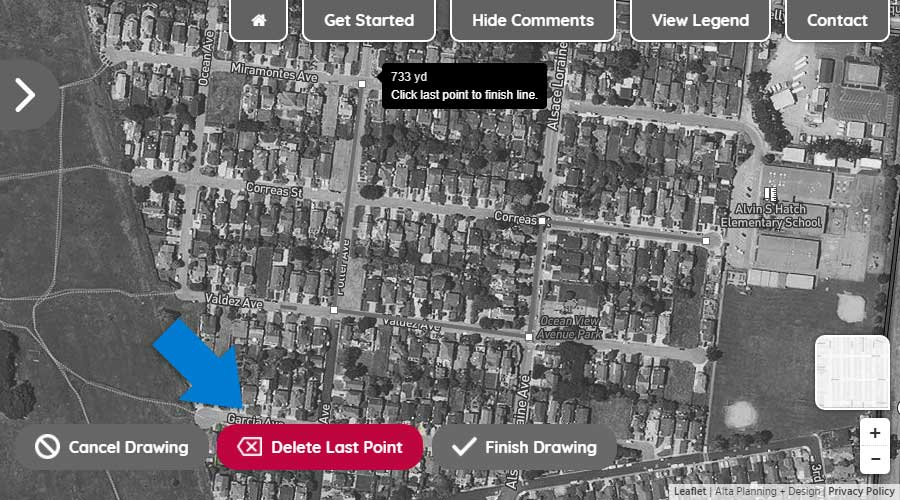
Step Five: To finish drawing your route, double click on the final point or click the "Finish Drawing" button.
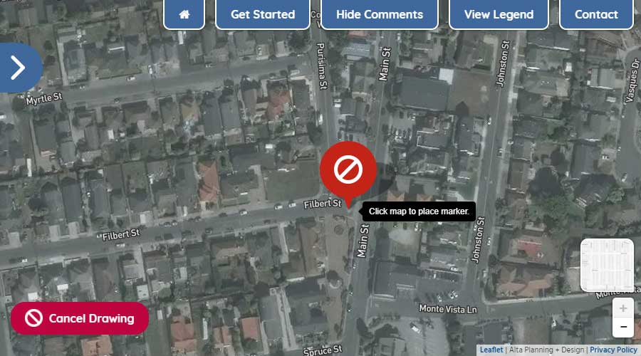
Using your mouse or touchscreen, left click on or touch the map to add a marker to the map.
This summer, we studied what our community needs to make walking and biking safer and easier in San Rafael. Based on what we learned, we identified networks that would allow people to walk, bike, and roll to work, school, shopping, transit, and other daily destinations. We then created a list of infrastructure projects for new multi-use paths, sidewalks, bike lanes, and crossing improvements throughout the city, and used your feedback to create prioritization criteria for evaluating which projects should be implemented first.
The result of this analysis are draft pedestrian and bicycle networks, and a draft list of the top 20 projects the City may focus on in the coming years to make our paths and streets work better for everyone.
Draft Project ListThe draft Pedestrian Priority Network was determined based on connectivity needs and level of pedestrian demand, and shows where the City will focus future pedestrian improvements.
High Visibility Crosswalks with continental striping that are more visible to drivers.
Curb Extensions extend the sidewalk or curb line out into the roadway or parking lane, reducing the effective street width and crossing distance.
Rectangular Rapid Flashing Beacon (RRFB) installations at uncontrolled crossings to increase driver awareness of pedestrians at crosswalks. Pedestrians can activate the flashing signal with a button.
Pedestrian Hybrid Beacon (aka HAWK) is an intermediate option between a flashing beacon and full pedestrian signal. It helps pedestrians safely cross higher-speed roadways by assigning right of way and providing positive stop control.
Leading Pedestrian Intervals at signals provide pedestrians with an advanced walk phase before turning vehicles. This improves the visibility of pedestrians and reduces vehicle conflicts.
Class I Multi-Use Paths: paths that can be used by both bicyclists and pedestrians and are completely separate from the roadway.
Class II Bike Lanes are lanes that are painted on the street and can sometimes include a painted buffer from vehicle lanes.
Class III Bike Routes are shared lane bikeways that are not accompanied by speed calming measures and are indicated by signage and/or bicycle stencils called ”sharrows”; they may have higher vehicle volumes and speeds than bike boulevards.
Class III+ Bike Boulevards are shared lane bikeways accompanied by traffic calming measures such as speed humps.
Class IV Separated Bikeways are on-street bikeways with vertical, physical separation from the adjacent lane; these are most common on higher-speed roadways.


